The adventure is underway! The mission is to spend time in the Outer Banks of North Carolina, mostly as vacation, but also to experience the area that hosted the ports of Roanoke and Currituck in colonial times until 1800.
We drove from early morning until evening, and since now it is winter, it was dark when we left and dark when we arrived each day at the next location. Even though this is a road trip, I would not consider it a leisurely one, but rather a hard push, because that is the way we roll… eager to get to the destination! We traversed the full length of three states to get to the North Carolina Outer Banks.
Yesterday was our first full day here, and it was cold with periods of heavy drizzle and rain, but will be the warmest day of our stay. Today the sun is shining, though cold and breezy with 27 mph sustained winds and a high of 43 degrees F. Tomorrow will be even colder with 36 degrees predicted for tomorrow’s high. Maybe we understand now why this is low season for Outer Banks tourism?
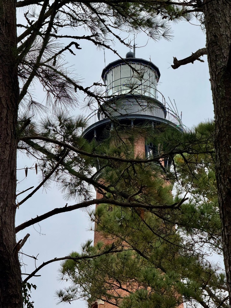
We explored the northern reaches at Corolla and Currituck County, and we have been to Roanoke Island. I am processing what I have experienced and seen, and now I will share my points of contemplation, so far.
- The states of Tennessee and North Carolina are really, really long. With newly uncovered legal documents that cite Jefferson Thomas Williams (d. bef 1870, Fayette County, TN), I need to retool his timeline to understand how his move from Northampton and Warren Counties in North Carolina to Fayette and Haywood Counties in Tennessee transpired 1830-1840. Was it one, one-way move, or were there some trips back and forth, and how did he, his wife Nancy Daughtry, and their son James L. Williams travel?
- Is there any chance that they used river or sea routes, like to the Mississippi River from Kentucky and Missouri and downriver to Memphis, or to through the Albemarle Sound to New Orleans and up the Mississippi? If they did use waterways, would there be any yet existing documentation of their trip?
- Asking questions about the colonial era Great Dismal Swamp or the early ports of Currituck and Roanoke tend to provoke surprise and often confusion. Evidently, the era/subjects are not common questions for park or visitor center workers. So far, I have found no printed material about the ports. It is fair to say that the average person has no idea about existence of the original Port Roanoke.
- As when visiting Rome or Greece, even the eastern American seaboard exhibits evidence of many layers of history from the First Americans of indigenous origin through to modern times. I am reminded that some North Carolina genealogists have been frustrated that much of the regional research focus for decades was upon the Civil War and the periods just preceding and following the conflict. Common surnames and lack of digitized or centralized early records made it too difficult to research, with any success, families and individuals in the Carolinas and Virginia during colonial periods. Recent advancing technology, computer/digital/information sharing/DNA, brings more information for us to reliably examine.
- There is a need to look further at modern researchers doing marine archeology in the Albemarle Sound, the tributaries, and Outer Banks. We also should encourage more research.
- We need to do more study of the North Carolina State Archives online digital records and do further analysis of the colonial and early United States Outer Bank port information showing the parties, products, and vessels and what we can learn about the families, individuals, and locations cited.
- Walking on the beach, even with moderate/normal conditions, the blowing of the sand is impressive, making it possible to appreciate how the terrain shifted over the years to open or cut off outlets from the Albemarle Sound into the ocean for sea-faring vessels to traverse. We note that the Wright Brothers National Monument at Kitty Hawk, is on a high point that was once a very high dune used by the brothers to test their gliders. In order to stabilize the dune for installation of the monument, workers planted vegetation… it does take work to keep any earth in place here.
- The breezy winter conditions are a reminder of the wisdom of the Jamestown and Roanoke colony originators that the actual coast/beach would be a difficult place to establish a community. A bit inland would be better. Having visited both Jamestown and Roanoke Island now, I think Jamestown was more wise… After today, I had a hunch that if I were one of the original Roanoke Colony settlers of the 1580’s, the ones who disappeared and whose fate remains a mystery, I might be thinking of moving farther inland too. Just saying…
- I visited the Outlets Nags Head today at 7100 S Croatan Hwy, Nags Head, NC 27959 , the place along the Outer Banks that, I read prior to my trip, is a likely location of the original Port Roanoke where, at that time, there was an opening through the banks deep and wide enough to allow access from the sound to the sea. Now, in common parlance, “Outlets” refers to a retail-shopping outlet mall. Do you think the potential double entendre of *outlet to the sea* was intended when naming Outlets Nags Head? I wanted to ask someone at the mall if there was an awareness of the colonial Port Roanoke port having been at the location, but I found no one official to ask, much less to inquire about the name. Tired for now of people looking at me funny, I did not ask the store clerks busy with holiday shoppers.
Thanks for following along. More observations as they come!